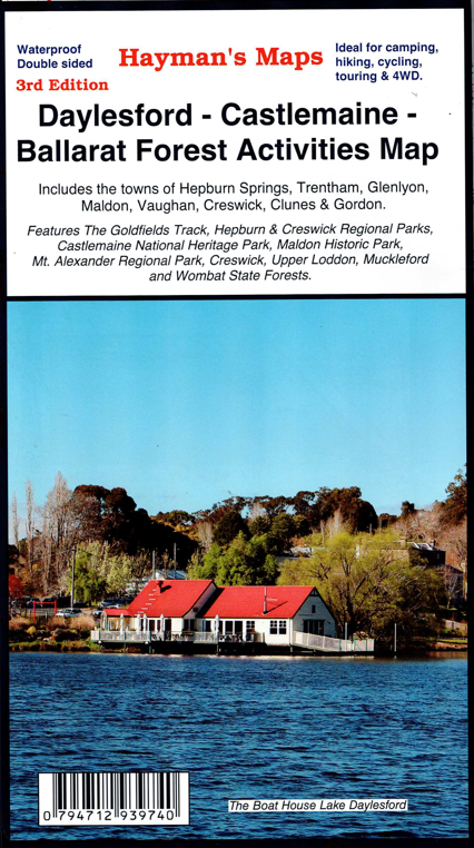
Description
This is the 3rd edition of this Hayman’s 1:50,000 Scale Map. Covering the towns of Daylesford, Castlemaine, Hepburn Springs, Trentham, Glenlyon, Maldon, Vaughan, Ballarat and Creswick. It features the Hepburn Regional Park, Castlemaine Diggings National Heritage Park, Maldon Historic Reserve, Mount Alexander Regional Park, as well as the Upper Loddon, Muckleford and Wombat State Forests. Includes all road and tracks, historic features, public amenities, camping and caravan parks and more. Printed on waterproof paper.
Reviews
There are no reviews yet.