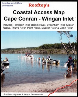
Select Page

Cape Conran Wingan Inlet Coastal Access Map

$5.95$15.95

  • 1st Edition (2008) Rooftop Map
  • Scale 1:100,000/li>
  • Cape Conran to Wingan Inlet
  • Camping Locations and Points of Interest
SKU: R011 Category:

Description

Rooftop Map at 1:100,000 scale. Coverage is from the Princes Highway to the coast including Cape Conran, Yeerung River, Dock Inlet, Sydenham Inlet, Tamboon Inlet, Point Hicks, Thurra River, Mueller River and Wingan Inlet. Laminated version also available.

Additional information

Weight 0.090 kg
Format

Folded, Folded & Laminated

Reviews

There are no reviews yet.

Be the first to review “Cape Conran Wingan Inlet Coastal Access Map”

Your email address will not be published. Required fields are marked *