Description
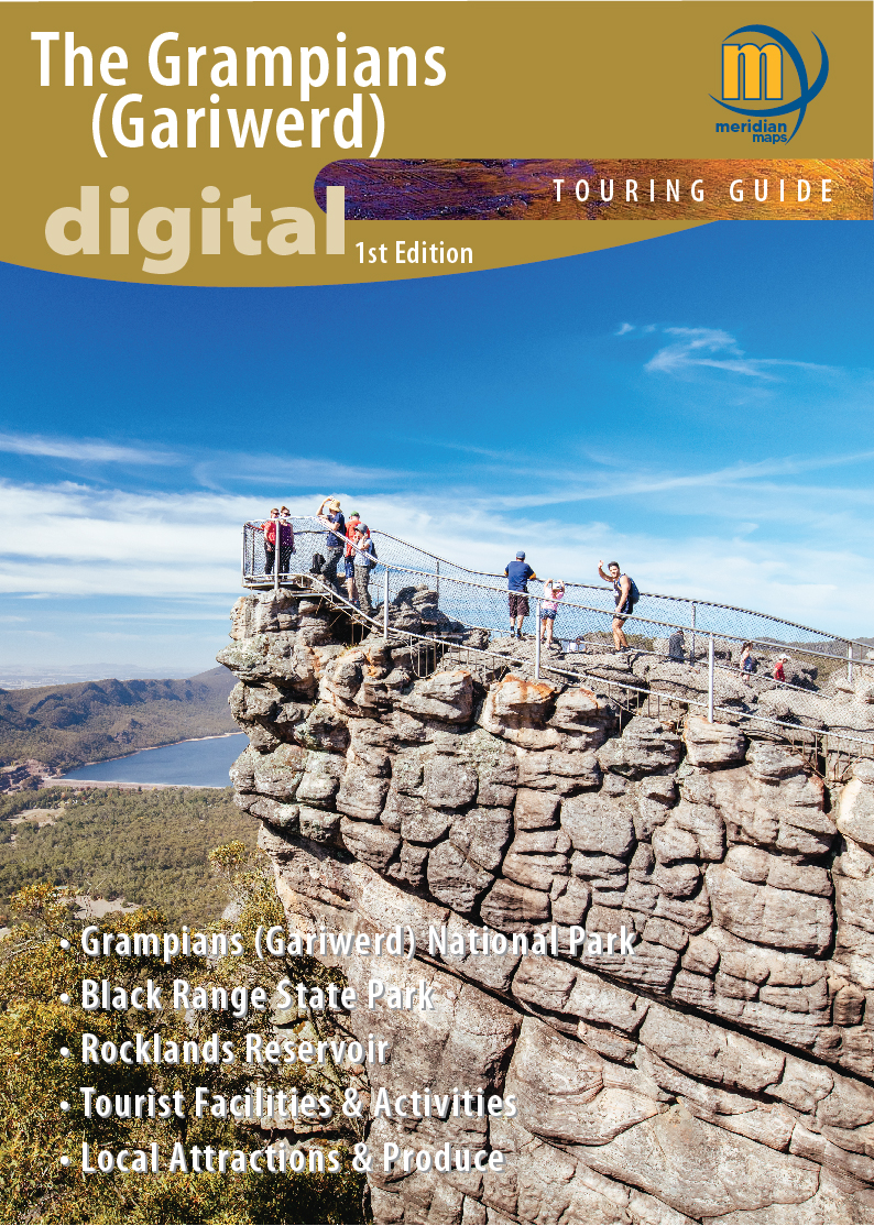
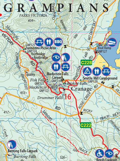
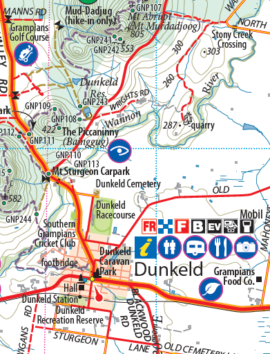
Experience the Grampians region like never before with Meridian Maps’ comprehensive 1:100,000 scale map. Tailored for 4-wheel drive enthusiasts, avid tourers and holiday-makers, this map is designed to showcase the myriad of tourist activities and notable features of the region. Discover the Grampians Way Touring Route, public indigenous art locations, wineries, rock climbing areas, tourist attractions, camping spots, fishing and hiking locations, picnic grounds, and much more, all conveniently highlighted on this single map. Explore the extensive network of walking trails, including the renowned Grampians Peaks Trail. This map offers a complete guide to the natural beauty and recreational opportunities throughout the Grampians. Digital format is GeoTIFF for moving map software by digital download. PDF version available from Avenza Maps.


Reviews
There are no reviews yet.