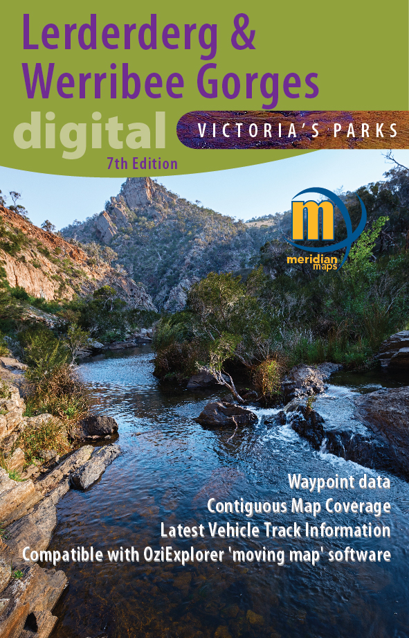
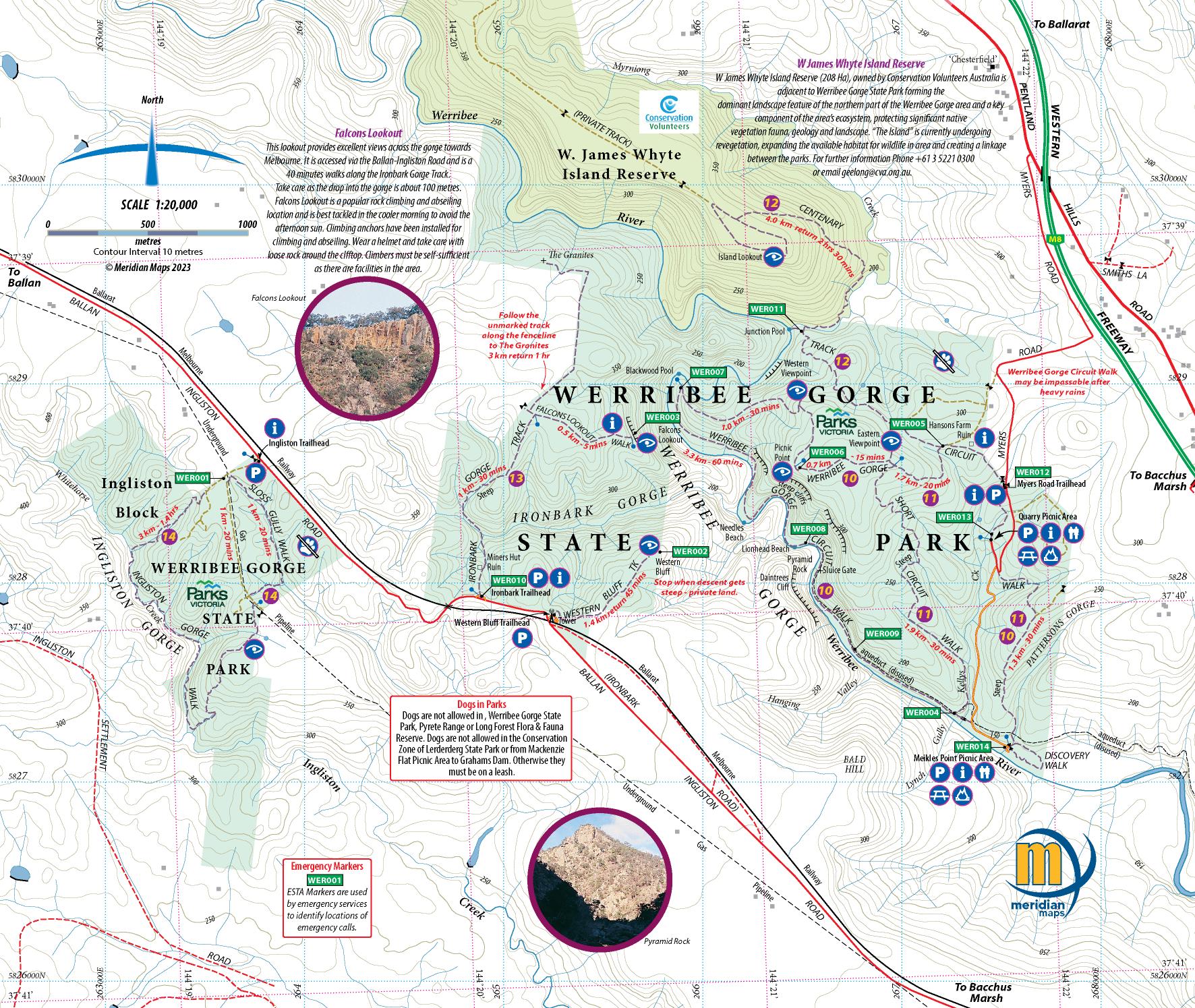
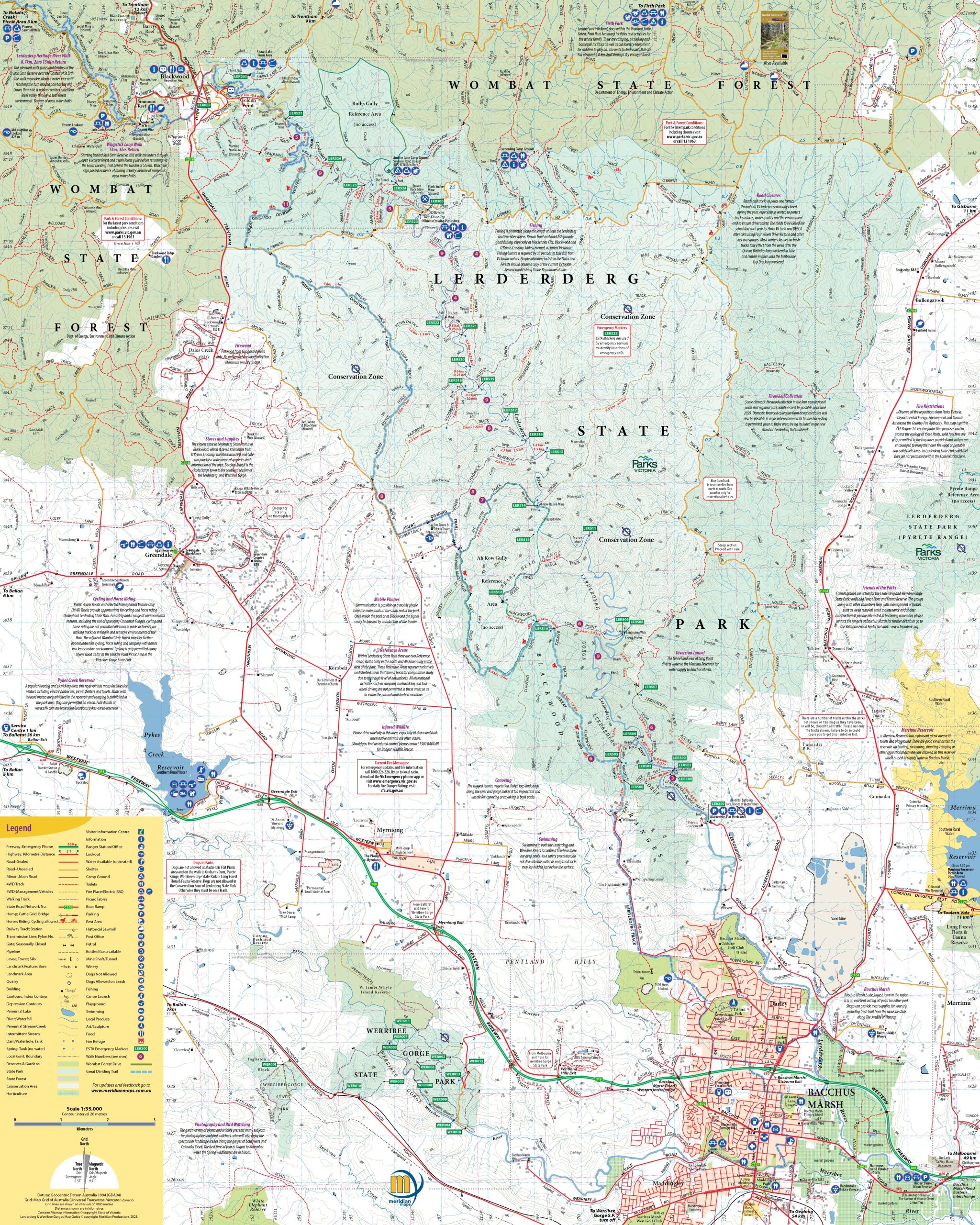
Description
New 7th Edition of this popular 1:30,000 scale topographic map of the Lerderderg State Park and 1:20,000 map of Werribee Gorge State Park, with a 1:15,000 enlargement of the Blackwood to O’Briens Crossing area and a 1:55,000 map of the Pyrete Range. New map of Long Forest Reserve at 1:40,000 including 6 new walks. Map includes 17 new and updated walk notes as well as notes on the parks history, wildlife and activities available in the parks. Features the Emergency Marker Co-ordinates for the Lerderderg and Werribee Gorge State Parks and all tourist attractions in and around the parks. Ideal for bushwalkers, day-trippers and 4 wheel-drivers. Many updates on the map making it the most accurate map of the Lerderderg and Werribee Gorges and region. Ideal for use on moving-map software such as OziExplorer. Digital format is GeoTIFF by digital download. PDF format is available from Avenza Maps.


Stephen Smitham –
As per usual Simon and Team provide prompt service and delivery. These maps are excellent with great detail and recommendations for both walkers and 4WD explorations. I only use their digital maps that are readily converted for use with OziExplorer GPS software that I use and others. And in closing the price for the maps brilliant.
Mary Edwards –
I have started using digital maps lately, and Meridian maps are great as they are up to date. I also use the hardcopy maps for planning routes and take them with me walking in case of phone problems. Fast service when maps needed !