


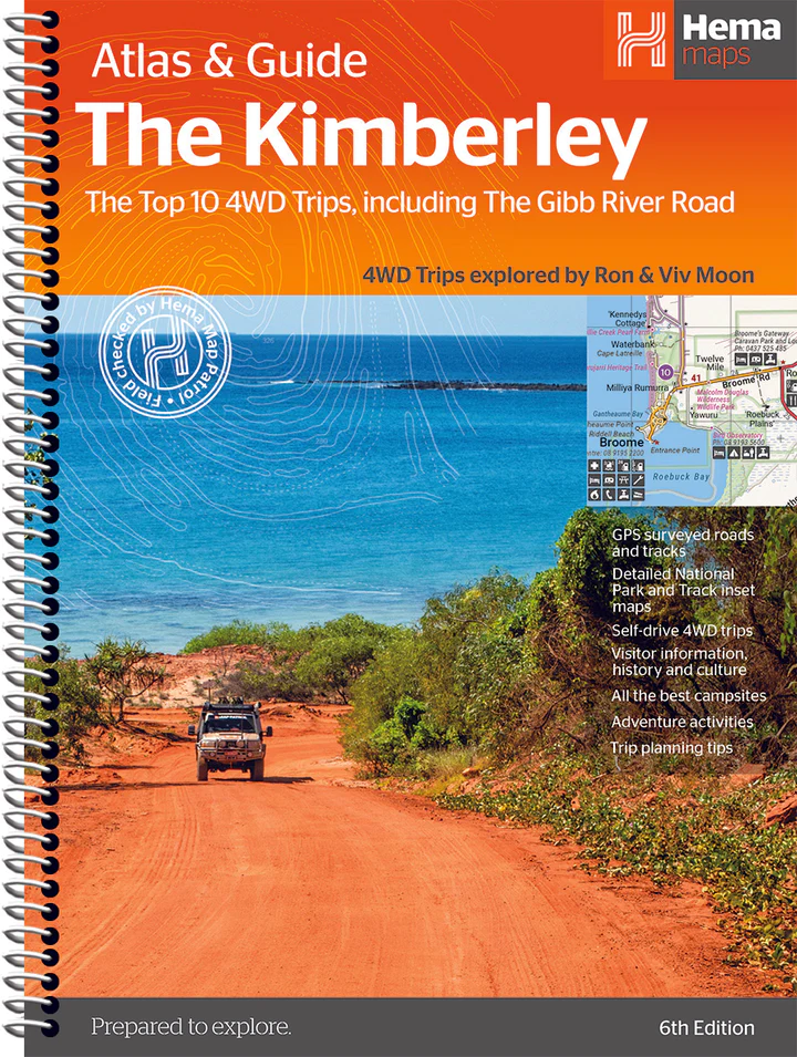


Description
The Kimberley Atlas & Guide (6th Edition) uncovers one of Australia’s most remote and awe-inspiring regions with detailed mapping and rich travel insights. Known for its rugged ranges, dramatic gorges and ancient culture, the Kimberley is a bucket-list destination for adventurers—and this guide is built to help you explore it safely and confidently. Inside, you’ll find detailed maps covering the Gibb River Road, Mitchell Plateau, Bungle Bungle Range, Derby, Kununurra and surrounding areas. 4WD tracks, campsites, waterfalls, river crossings and national parks are clearly marked to help you plan reliable routes across the region’s challenging terrain.
The guide includes extensive regional information on geology, Indigenous history, wildlife and key attractions. Practical travel tips—covering road conditions, weather, supplies and safety—support informed preparation for long-distance touring.
Written by Ron and Viv Moon, this richly illustrated guide is designed for durability. The Kimberley Atlas & Guide is a must-have for 4WDers, caravanners and travellers seeking to experience one of Australia’s most iconic wilderness regions.
Key Features
Handy atlas for navigation
10 top 4WD trips featured
20 Detailed maps throughout
Maps show fuel locations
Trip planning tips
When to go and how to prepare
Where to stay and best campsites
Listings of tour operators
Background reading on the region
Reviews
There are no reviews yet.