


Description
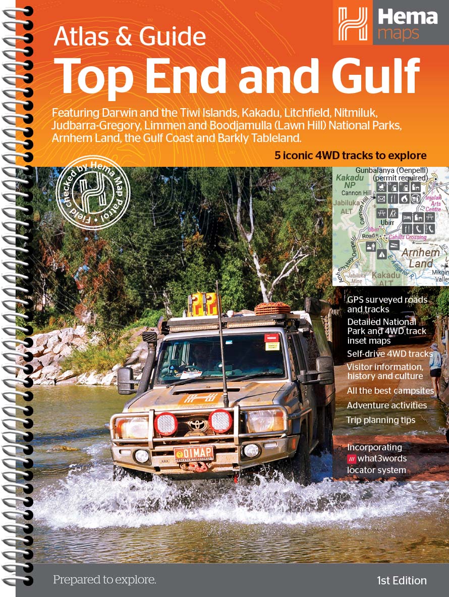
Well suited to four-wheel drive enthusiasts, road trippers and adventure focused travellers, Hema Top End and Gulf Atlas and Guide supports journeys through national parks, coastal routes and outback regions. It helps map out self drive trips, uncover key attractions and understand cultural and historical context along the way. With coverage of towns, campsites, tracks and visitor highlights, it allows travellers to plan with confidence and make informed choices before and during their trip.
Detailed atlas mapping covers Kakadu, Litchfield, Nitmiluk, Arnhem Land access routes, the Gulf Track, Roper Highway, Savannah Way and surrounding regions. Campsites, fuel locations, waterfalls, river crossings and national parks are all clearly marked to support safe and confident travel.
The guide offers insights into the region’s cultural heritage, tropical ecosystems and historical sites. Additional travel advice helps readers prepare for tropical climates, variable road conditions and the remoteness typical of northern Australia.
Durable, informative and beautifully produced, the Top End and Gulf Atlas & Guide is the perfect companion for travellers seeking to discover the unique landscapes, wildlife and culture of Australia’s far north.
Plan your next northern adventure with the Hema Top End and Gulf Atlas and Guide.
Key Features
• Detailed regional mapping
• Four-wheel drive routes
• Cultural travel insights
• Trip planning support
• National park coverage
• Campground information

Reviews
There are no reviews yet.