


Description
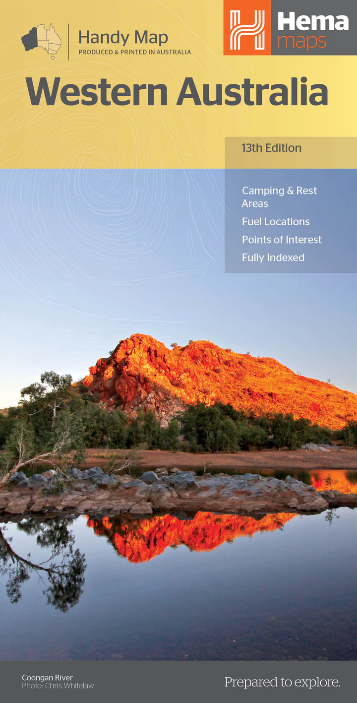
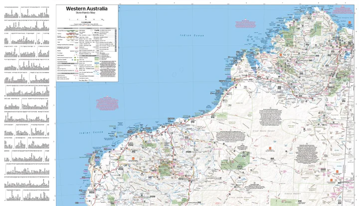
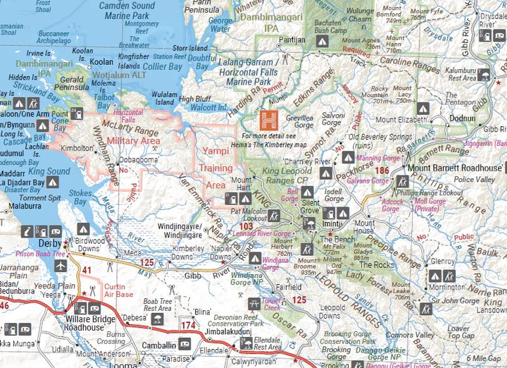
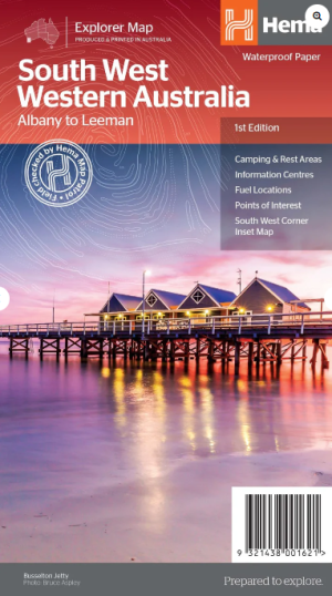
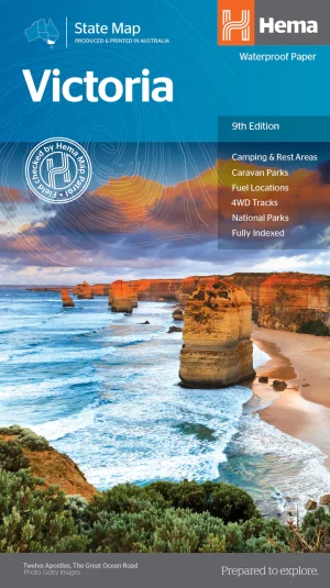
A handy, easy to use, compact map of the Golden state, Western Australia. The map gives a detailed distance grid and index for planning and reference, clearly marked highways, major and minor roads, camping and rest areas, 24-hour fuel, information centres, picnic areas, caravan parks and lookouts. The Northern half of Western Australia shown on one side, the southern half is shown on the reverse. This map is ideal for everyday camping, road trips, touring or trip planning! The Western Australia Handy Map is an essential addition to any holiday-maker’s packing list, or a useful resource to keep stashed in the glove box.



Reviews
There are no reviews yet.