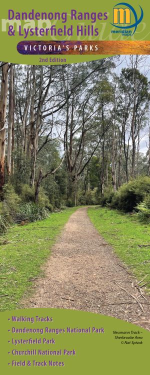
Description
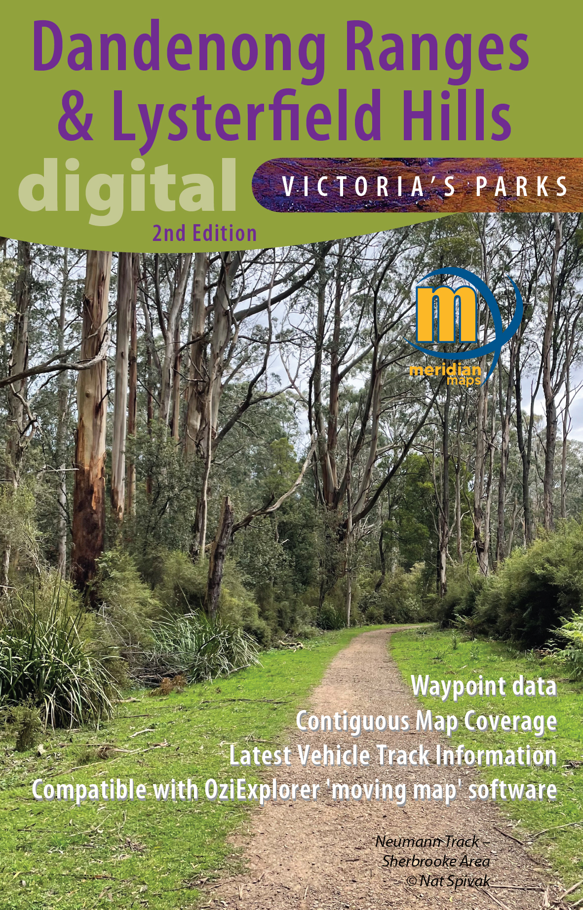
Explore the Dandenong Ranges: A Rainforest Getaway Near Melbourne
Just a short drive or train ride from Melbourne lies the breathtaking Dandenong Ranges, a lush rainforest escape featuring steep volcanic hills and the majestic Mountain Ash, the tallest flowering tree in the world. This natural wonderland offers a perfect retreat for nature lovers and adventure seekers alike.
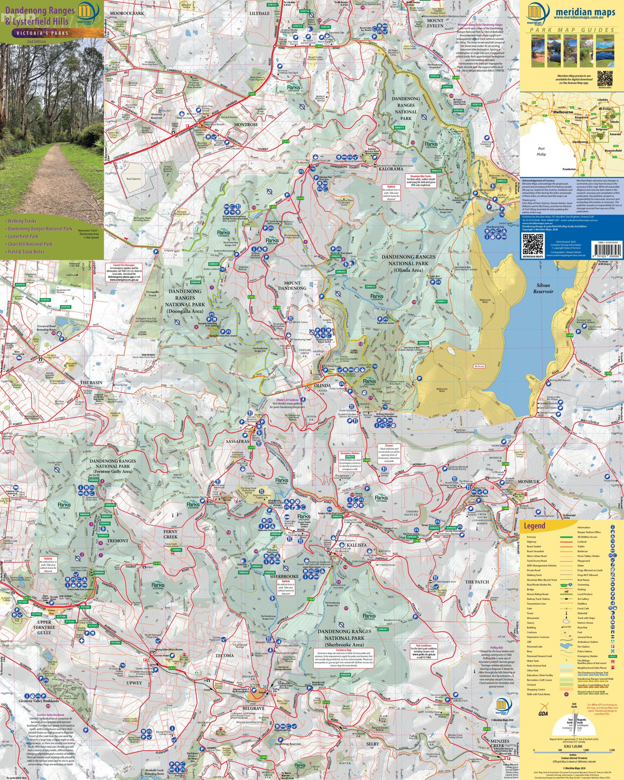
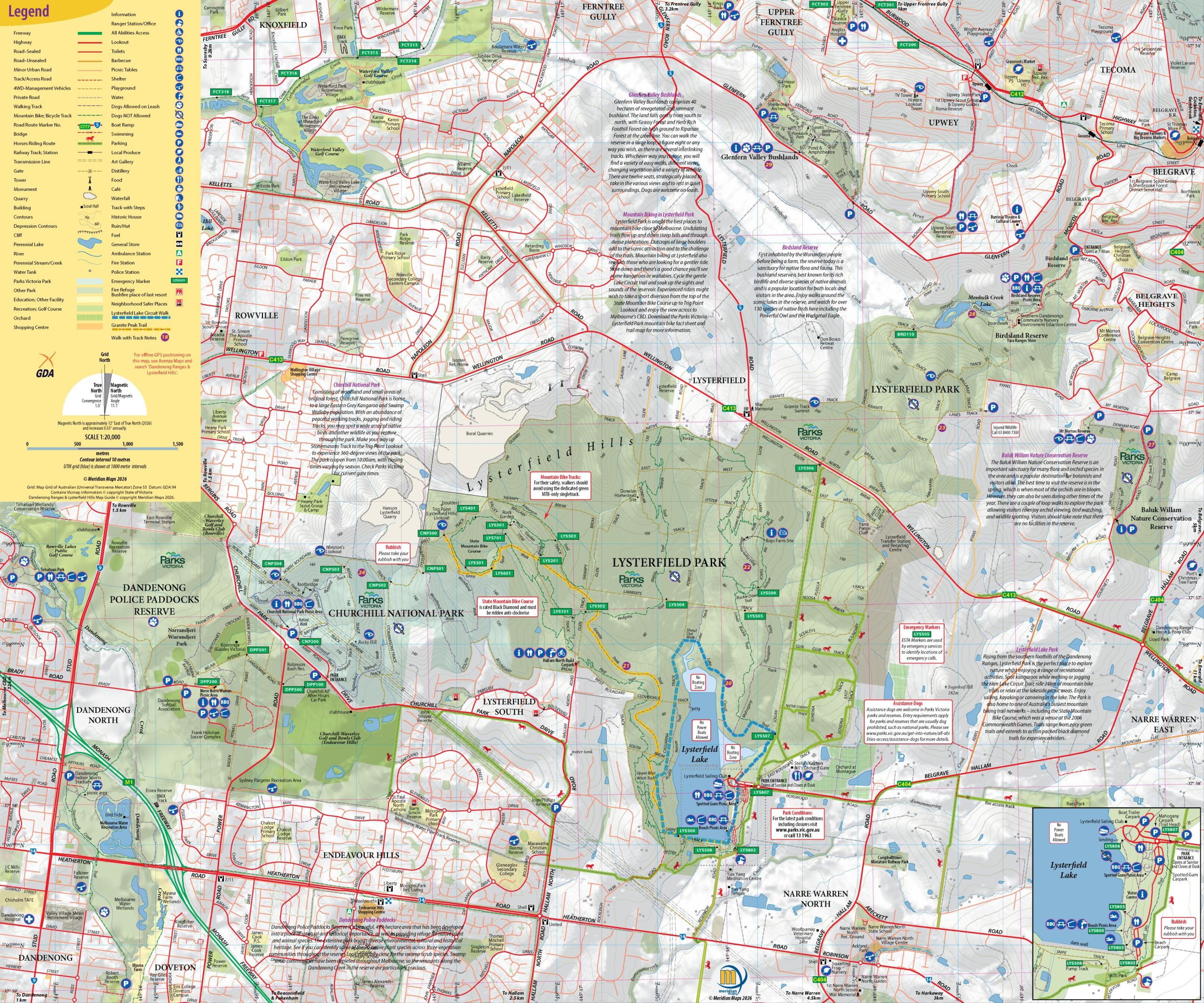
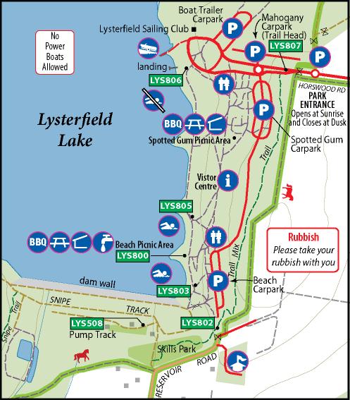
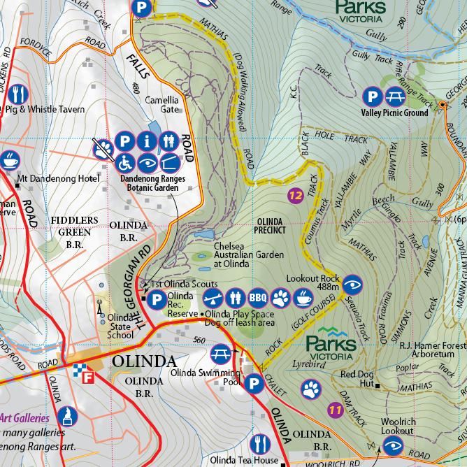
To help you navigate this stunning area, grab this double-sided 1:20,000 scale map of the Dandenong Ranges and Lysterfield Hills. This comprehensive map covers all the parks in the region, including Dandenong Ranges National Park, Churchill National Park, and Lysterfield Park. It highlights 32 walking trails, including the scenic Dandenong Trail and the Dandenong Tourist Track, ensuring you won’t miss any of the breathtaking sights.
The map also features all tourist attractions, local producers, picnic grounds, and walking tracks, making it ideal for bushwalkers, day-trippers, mountain bikers, and holidaymakers. Whether you’re planning a leisurely day out or an adventurous hike, the Dandenong Ranges offers a delightful escape right on Melbourne’s doorstep.
Digital format is GeoTIFF for moving map software by digital download. PDF version available from Avenza Maps.


Reviews
There are no reviews yet.