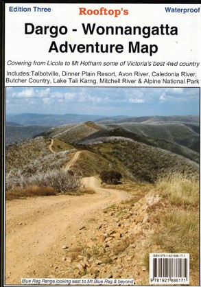
Description
This Rooftop map features a 1:100,000 scale map of the magnificent Wonnangatta Valley.
Map coverage is from Licola to Mount Hotham and from Briagolong to the Buckland Valley and everything in between including access routes into Wonnangatta Station, the Crooked River goldfields, Upper Dargo goldfields and Mitchell River National Park. As well as detailed road and track information, there are lots of useful tips and warnings noted for various tracks.
Main Features on this side:-
Licola, Moroka, Dargo, Wonnangatta Station, Hotham Village, Avon Wilderness, Ben Cruachan State Forest, Valencia State Forest, Mitchell River, Steve, Wonnangatta River, Moroka River, Grant Historic Area, Mount Wellington, Guys Hut, Caledonia Track, Talbotville, Tea Tree Range, Dinner Plain, Dargo River, Cobungra State Park, parts of the Australian Alpes Walking Track, Blue Rag Track and Range
The reverse side has a 1:50,000 scale enlargement titles Dargo – Howitt Plains Forest Activities Map providing more detail for Wonnangatta valley, Crooked River and the Howitt Plains near Licola.
Printed on waterproof paper.


Reviews
There are no reviews yet.