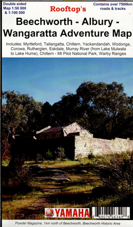
Description
Rooftop Map covering from Rutherglen to Hume Weir and Tallangatta in the north and from Wangaratta to Myrtleford and Eskdale in the south at a scale of 1:100,000. Beechworth is positioned approximately in the centre. Also a small inset of the Warby Ranges.
Other features
Corowa, Rutherglen, Milawa, part of the Warby Ranges, Lower Ovens State Park, the Murray River Lake Mulwala to Lake Hume, Tarrawingee, Eldorado, Springhurst, Everton, Wahgunyah, Chiltern, Mt Pilot National Park, Beechworth, Stanley, Whorouly, Barnawatha, Howlong, Nine Mile Historic Area, Albury, Wodonga, Yackandandah, Dederang, Mount Jack North, Gundowring, Tangambalanga, Yabba, Noorongong.
The reverse side is a larger map 1-50,000 scale of Chiltern and Barnawatha to Wodonga, south to Myrtleford and Whorouly South.


Reviews
There are no reviews yet.