

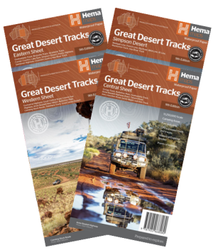
Description
Hema’s Great Desert Tracks maps are essential for anyone travelling in the Australian outback. The mapping features roads and 4WD tracks field-checked by the Hema Map Patrol, Points of Interest for remote area travellers and touring information for learning more about the region and planning your journey.
The Great Desert Tracks Western Sheet covers from beyond Derby in the north to Norseman in the south, and from Halls Creek in the east to Marble Bar in the west. Marked on the mapping are roads and 4WD tracks checked by the Hema Map Patrol, distance markers, topographical relief and touring points of interest including 24-hour fuel, camping areas and caravan parks, facilities, services and more. Also included is information on travelling in the desert, what you need for the trip and relevant contact information.
Key tracks include:
Gunbarrel Highway
Great Central Road
Connie Sue Highway
Anne Beadell Highway (West)
Nullabor Plain
Canning Stock Route
Talawana Track
Great Sandy Desert
Reviews
There are no reviews yet.