


Description
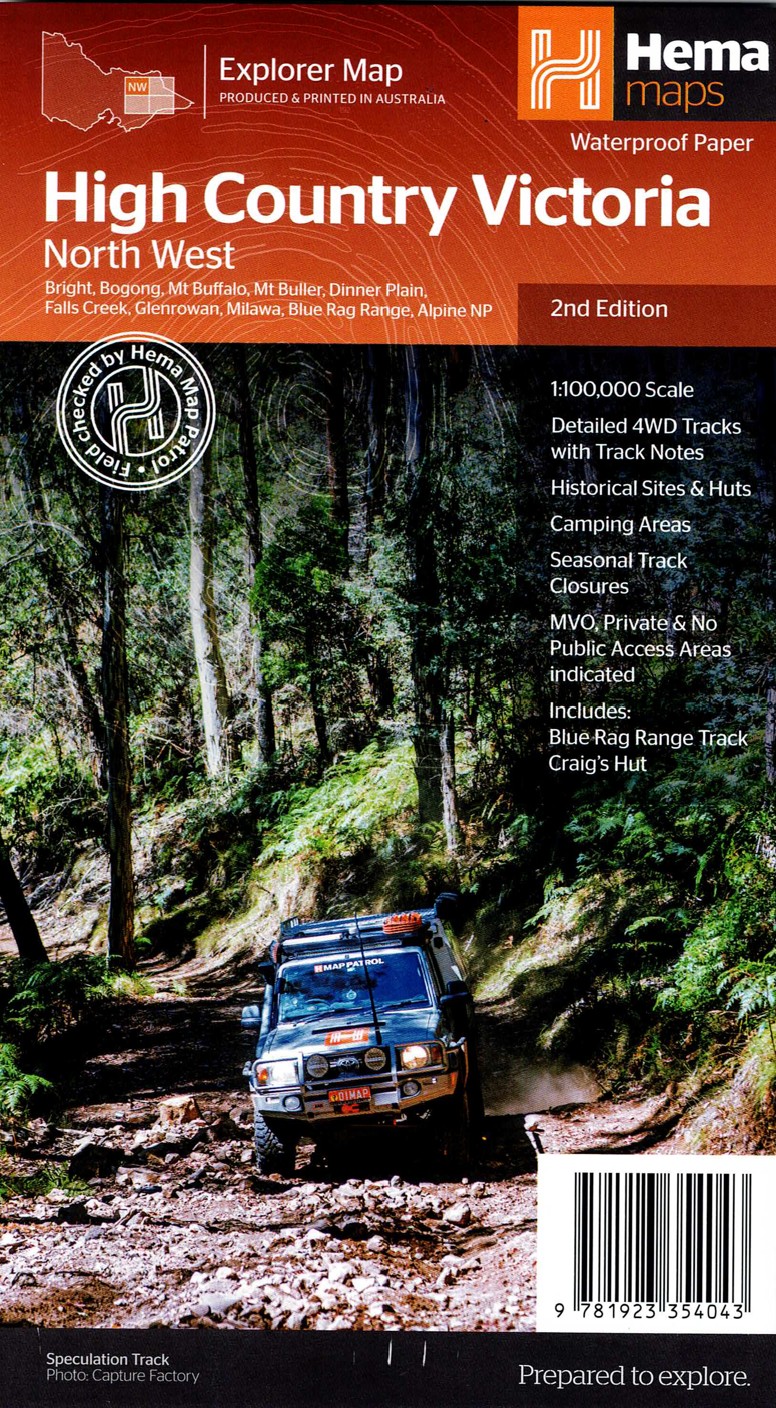
The Victorian High Country – North Western Map provides detailed topographic mapping of one of the most adventurous sections of the High Country. Known for challenging 4WD tracks, historic huts, rugged peaks, and breathtaking views, the region demands reliable navigation—and this map delivers exactly that.
It highlights 4WD routes with difficulty ratings, key access points, river crossings, and elevation shading. This helps travellers choose safe, suitable tracks based on capability, conditions, and vehicle setup.
Camping sites, huts, walking trails, lookout points, and natural landmarks are all shown, making it easy to plan overnight stays and explore remote areas. Seasonal road closures and important notes for alpine travel are also included.
Durable and highly accurate, this map is an invaluable resource for off-roaders, hikers, and adventure seekers exploring the North Western High Country. It provides peace of mind and essential clarity for navigating this rugged terrain.
Key Features
Detailed 4WD tracks with notes
Historical sites & old townsites
Camping areas & huts
Road distances
Seasonal snowline and track closures
Accommodation
Includes; Blue Rag Range Track & Craigs Hut
Latest bushfire affected areas.


Reviews
There are no reviews yet.