


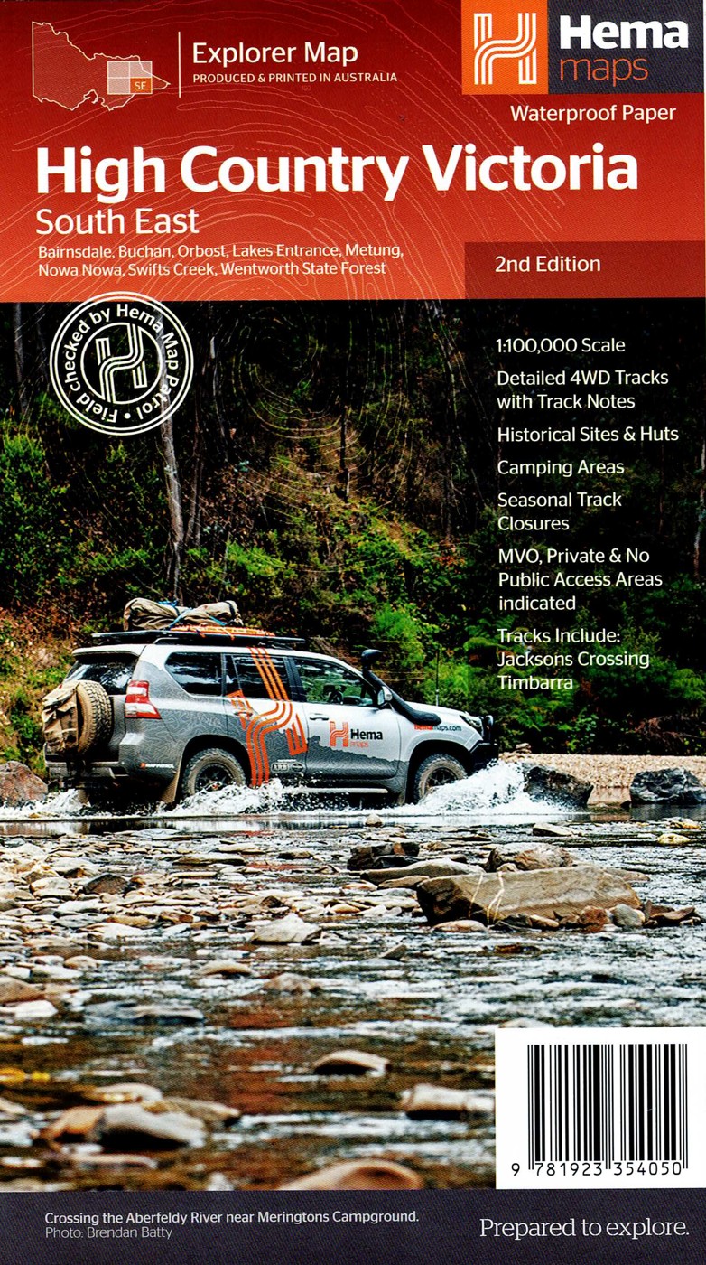

Description
Built on Hema’s renowned cartographic expertise, the map covers key areas including Dargo, Licola, Mount Howitt, the Wonnangatta Valley, Alpine National Park and surrounding regions. It clearly identifies 4WD routes, seasonal track closures, campsites, huts, river crossings and points of interest, making trip planning straightforward and reliable.
Topographic detail, elevation contours and distance markers help travellers understand the demanding nature of High Country terrain. Road classifications and access notes assist with assessing track conditions, while the clear layout ensures readability even in challenging environments or poor weather.
Ideal for serious off-roaders, weekend adventurers and High Country enthusiasts, the Victorian High Country – South Eastern Map is a trusted companion for exploring one of Victoria’s most remote and rewarding regions. Whether you’re chasing alpine views, historic cattlemen’s huts or remote bush camps, this map helps you travel prepared and informed.
Key Features
Detailed 4WD tracks with notes
Historical sites & old townsites
Camping areas & huts
Road distances
Seasonal snowline and track closures
Accommodation
Tracks include; Jacksons Crossing and Timbarra
Latest bushfire affected areas.



Reviews
There are no reviews yet.