Description
Get both the Westprint Map-on-Demand maps of Australia’s out of the way places in Outback Australia.
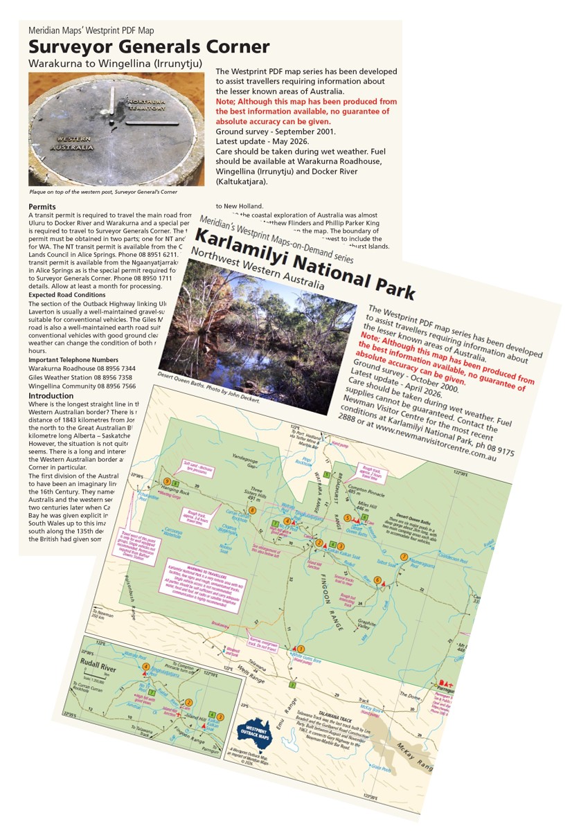
The Surveyor Generals Corner Map covers the area of Western Australia from Docker River (Kaltukatjara) and Warakurna (on the Great Central Road) along the Old Gunbarrel Highway to Wingellina, on the Gunbarrel Highway. Surveyor Generals Corner (of WA, SA and the NT) which is near Wingellina, has an interesting history which is spelt out in the notes. Other places of interest include Lasseter’s Cave and Giles Weather Station. The map is an A3 Double-side map at 1:1,000,00 and is available Printed, Printed & Laminated and in PDF.
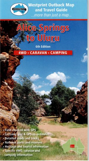
Previously known as Rudall River National Park, Karlamilyi National Park is one of the remotest national parks in Western Australia. It is accessible from Newman, Port Headland and the Canning Stock Route. The most spectacular feature of the park is undoubtedly the Desert Queen Baths and the other pools along the Rudall River. About 70 bird species and numerous desert animals survive in this harsh environment. The communities of Punmu and Parngurr can supply fuel and stores. The map is an A3 Double-side map at 1:500,000 and is available Printed, Printed & Laminated and in PDF.


Reviews
There are no reviews yet.