Description
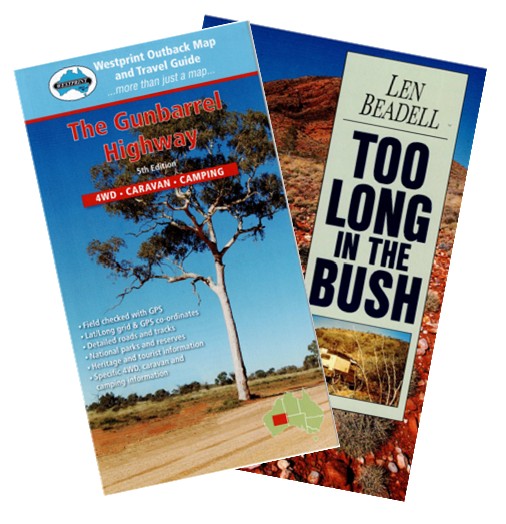
This is the story of how, from 1956 to 1958, Len Beadell and his team made the first road to cross Central Australia from east to west, 1400 kilometres from the Alice Springs road to Carnegie homestead 650 kilometres north of Kalgoorlie. On the way he surveyed and built the Giles Meteorological Station and aerodrome before moving on to skirt the edge of the infamous Gibson Desert. Len’s happy nature keeps the tale bubbling along with humorous touches that make this remarkable journey one that every armchair traveller will enjoy. First published in 1965 this the first book from Len Beadell, describing his work to build roads across Australia’s vast interior as part of the initial surveys to establish the Woomera Rocket Range. Follow Len’s journey with the Westprint Outback Map – The Gunbarrel Highway. This highly detailed map covers from Docker River through to Wiluna and includes both the Gunbarell and Old Gunbarrel Highways along with detailed text describing the journey you will undertake. Available with a folded map or a folded/laminated map.


Reviews
There are no reviews yet.