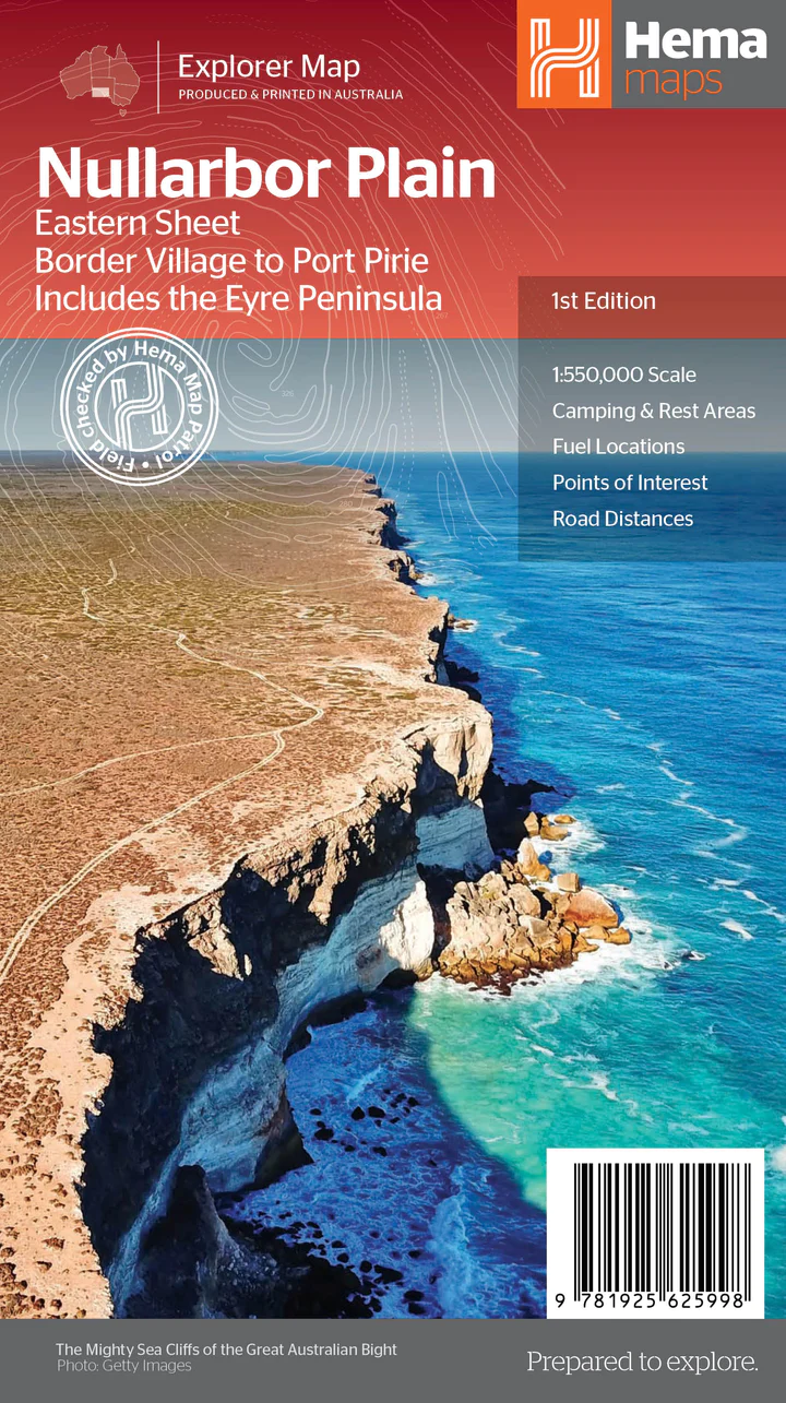
Description
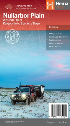
This map is part of Hema’s new Nullarbor Plain Map Series (East and West) and covers Border Village to Port Pirie including the Eyre Peninsula.
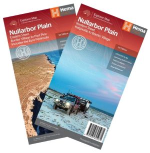
Truly one of the worlds great adventure drives, Australia’s semi-arid Nullarbor Plain stretches some 1,256 kilometres (781 miles) via the Eyre Highway and links the cities of Adelaide and Perth (or vice versa depending on your direction). The length of this journey is so large we needed to stretch it over two maps; East from Port Pirie to Border Village in South Australia and the Western sheet from Border Village to Kalgoorlie.
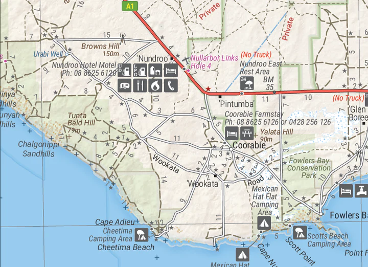
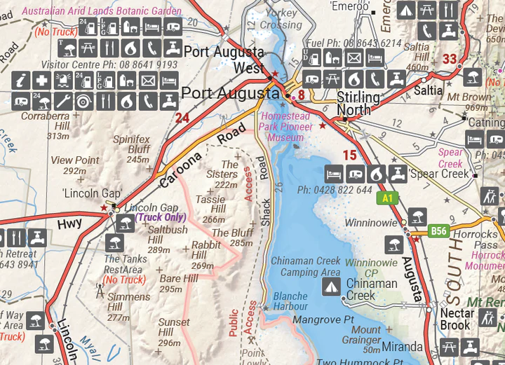
While all the key sites and facilities along the Eyre Highway are listed this map allows you to broaden your horizon and consider some of the other attractions off the Highway, including; the various Nullarbor caves, iconic beaches across the Great Australian Bight and thousands of kilometres of 4WD tracks (including Googs Track), all field-checked by the Hema Map Patrol for superior accuracy.
This map combines Hema’s entire database of roads and 4WD tracks with touring points of interest and topographic information. Also included are camping & rest areas, fuel locations, accommodation, distances and history of the region.
Reviews
There are no reviews yet.