Description
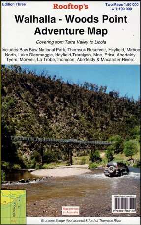
The 3rd edition of this highly popular 1:100,000 scale Walhalla Rooftop map has been extended through the Latrobe Valley to the South Gippsland Hills. Coverage now includes Baw Baw National Park, Thomson Reservoir, Heyfield, Mirboo North, Lake Glenmaggie, Traralgon, Moe, Erica, Aberfeldy, Tyers, Morwell, Blackwarry, Tarra-Bulga National Park and Won Wron, Mt Selma.
Roads and tracks have been carefully plotted using a GPS and all important recreational and land features have been included plus the 2006 wildfire boundary in the Tyers and Moondarra State Parks.
On the reverse side is the Walhalla – Woods Point Forest Activities Map at 1:50,000 scale with contours.
Laminated version also available.


Reviews
There are no reviews yet.