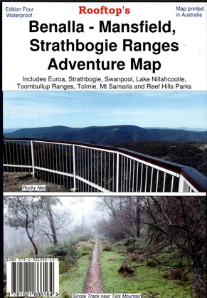
Description
Rooftop Map at 1:100,000including Strathbogie, Toombullup, Lake Nillahcootie, Mount Samaria, Mount Wombat, Reef Hills, Mount Strathbogie, Euroa, Bonnie Doon, Swanpool, Tolmie, Euroa, Murchison Avenel, Seymour, Murchison, Violet Town, Benalla, Bonnie Doon, Maindample, Tatong, Glenrowan, Broken River, Kelvin View, Boho, Mt Barranhet, Warrenbayne, Mt Seldomseen, Lima, Mt Lindsay Track. The reverse of the map has the complete Strathbogie Forest Activities Map, which is a 1:50,000 scale enlargement with contours of the forest portion of the main map. Symbols include caravan, camping, bush huts, boat ramps, picnic areas, lookouts, fishing spots, public phones, fuel, mines and relics and more.
Printed on waterproof plastic paper

Reviews
There are no reviews yet.