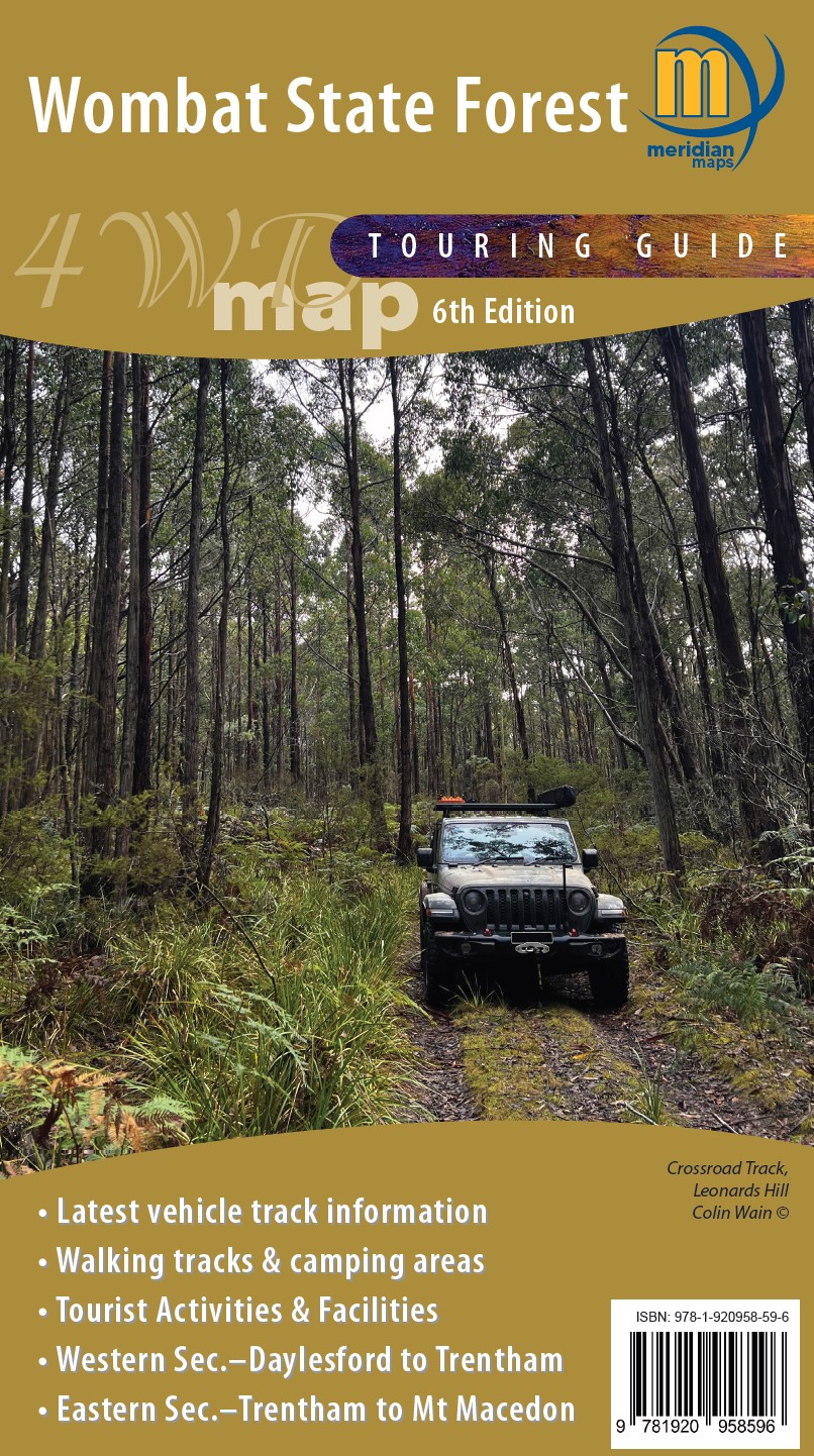
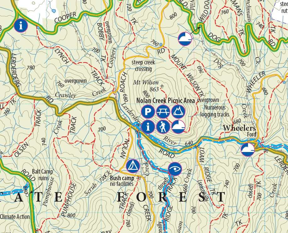
Wombat State Forest 4WD Map

$14.95$26.95

  • 5th Edition 2021
  • Scale 1:50 000
  • Double sided
  • Wombat State Forest
  • Hepburn & Macedon Regional Parks
  • Detailed facility information
  • New and updated tourist symbols
  • Easy to read design
  • Highlights Goldfields Tracks & Wombat Forest Drive
  • Map size 750mm(H) x700mm(W) flat
  • ISBN: 978-1920958404
  • Available Folded, Folded/Laminated, Flat and Laminated
  • Available as Digital format and as part of Map Packs
  • Available in PDF format from Avenza Maps
SKU: 4WDTouringMaps-WombatStateForest Category:

Description

Double-sided 1:50,000 scale map covering the entire Wombat State Forest from Daylesford through to Woodend and the Macedon Ranges. Ideal 4-wheel drive map which highlights all the tourist activities and features of the region such the wineries, mines, mineral spas, picnic grounds and more. Includes the Great Dividing Trail and Wombat Forest Drive. Ideal touring map for four-wheel driving, holidaymakers, bushwalkers and day-trippers. Recently updated to include pet-friendly campgrounds, accommodation, local produce, petrol stations, waterfalls and more tourist information. Available in Print and Digital versions and in Map Packs.

Additional information

Weight 0.090 kg
Format

Folded, Flat, Laminated, Folded & Laminated

Reviews

There are no reviews yet.

Be the first to review “Wombat State Forest 4WD Map”

Your email address will not be published. Required fields are marked *