
Description
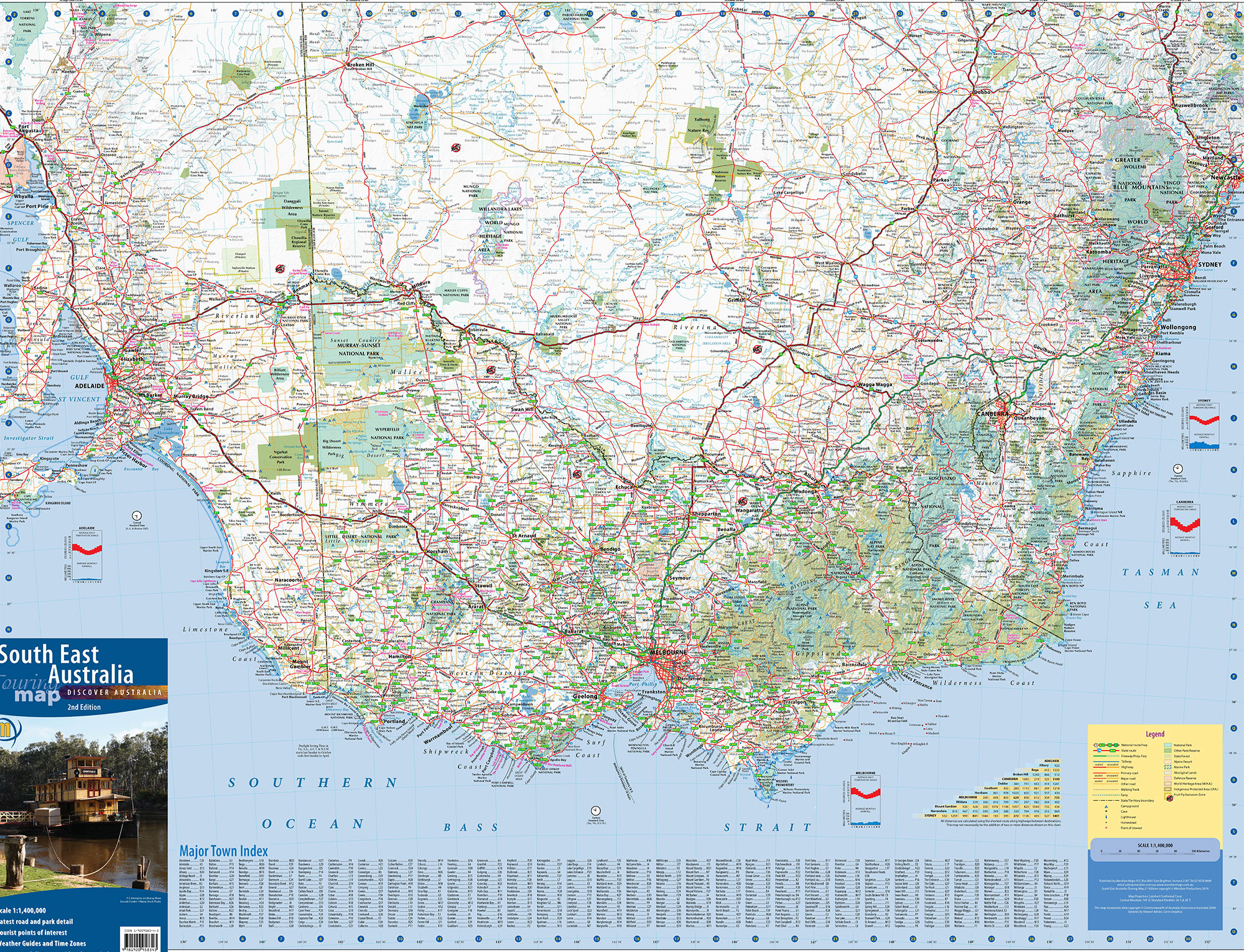
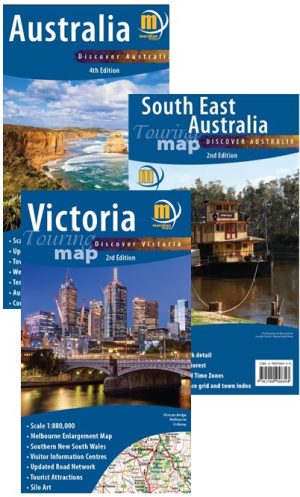
1:1,400,000 scale wall map of South East Australia covering the most populous corner of Australia. From Port Augusta in South Australia in the west, to Newcastle in New South Wales in the north, and all of Victoria in the south, this map is both large in size and breadth of area it covers. Designed to meet the needs of the business and travelling public who commute between the state capitals on a regular basis, the map provides excellent detail of the whole region. Map includes a Major Town Index, Distance Grid, Time Zones and Weathe Charts. This map is an invaluable tool for businesses, homes, and schools. Use it to determine routes of travel, customer locations, and distance throughout the South East corner of Australia. Available folded, flat and laminated.

Simon Spivak –
Today I received in the mail an amazing piece of technology. Perfect for planning a journey, it not only boots up instantly but also operates independently of the internet so is useful in rural and remote areas. More than that, it doesn’t even need batteries! The map is clear and sufficiently detailed for our needs i.e. a good product. So thank you for still making maps.