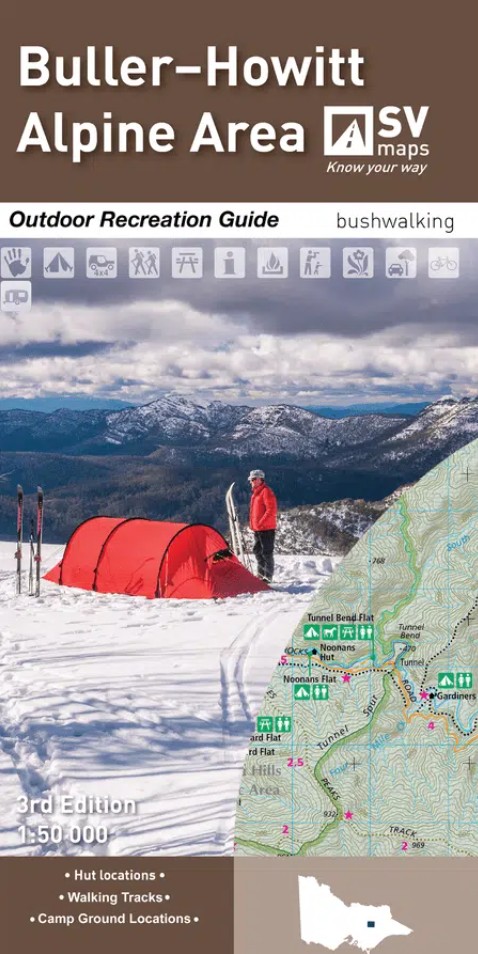
Description
This Spatial Vision guide for the Buller-Howittt Alpine Area at 1:50,000 scale, covering the key locations of Mt Buller Alpine Village and the Mt Howitt region of the Alpine National Park. The Buller-Howitt Alpine Area recreation guide has visitor information regarding overnight hiking, walking tracks, major activities, car and four wheel touring as well as flora and fauna.
Features of the map include:
Colour topographic map at 1:50,000 scale
Overnight hiking routes and campsites
Selected walking track cross sections indicating slope and difficulty
Major recreational facilities, huts, parks and forests
GPS co-ordinates of campsites and huts
Historical information and photographs

Reviews
There are no reviews yet.