Description
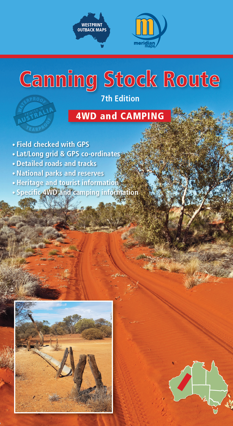
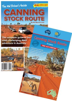
Updated in 2026, the Westprint Canning Stock Route Map 7th edition is an essential tool for anyone planning to explore one of Australia’s most iconic and remote regions. This high-quality map is designed specifically for adventurers and explorers, providing accurate and detailed information about the Canning Stock Route and the surrounding area.
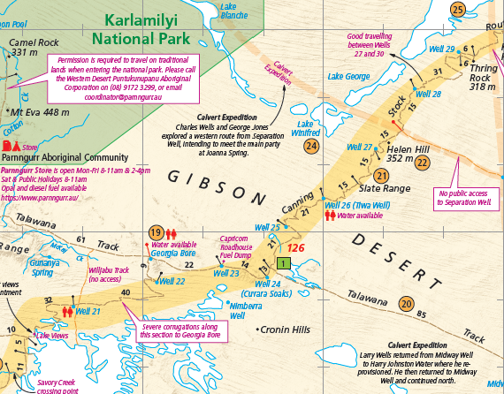
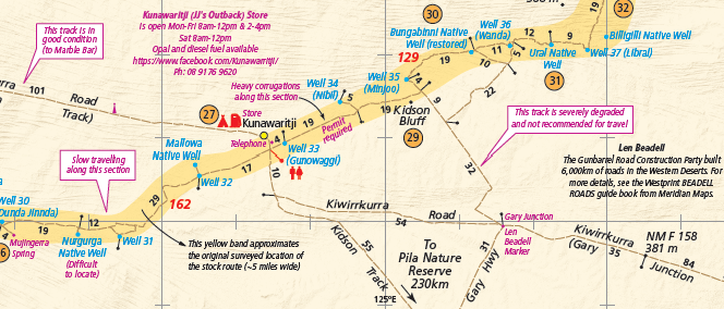
The map covers the entire 1850km length of the Canning Stock Route, from Halls Creek in the north to Wiluna in the south. It includes detailed information about the route’s history, as well as important points of interest such as wells, water sources, campsites, and Aboriginal communities. This map contains notes on the history of the surveying and building of the Stock Route by Alfred Canning and the subsequent well reconditioning by Snell. This edition has been printed on a waterproof and tearproof synthetic material to greater durability. The map is clear with symbols referring to textual information provided on the back of the map explaining each point of interest, surrounding flora and fauna.
The Westprint Canning Stock Route Map is an indispensable resource with its detailed information and comprehensive coverage, it will help you navigate the rugged terrain and stunning landscapes of one of Australia’s most challenging and rewarding regions.
Key Features
• New edition in 2026 now printed on waterproof & tearproof material
• Updated text and map information
• Specific 4WD, caravan and camping information
• GPS surveyed roads & tracks
• Heritage & tourist information
Reviews
There are no reviews yet.