Description
Karlamilyi National Park Map is part of as the Westprint Maps-on-Demand series covering interesting out of the way locations in Outback Australia.
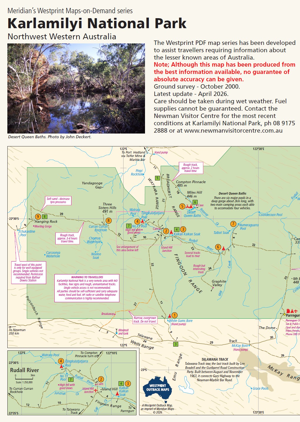
Previously known as Rudall River National Park this is one of the remotest national parks in Western Australia. It is accessible from Newman, Port Headland and the Canning Stock Route. The most spectacular feature of the park is undoubtedly the Desert Queen Baths and the other pools along the Rudall River. About 70 bird species and numerous desert animals survive in this harsh environment. The communities of Punmu and Parngurr can supply fuel and stores. The map is an A3 Double-side map at 1:500,000 and is available Printed, Printed & Laminated and in PDF.
Reviews
There are no reviews yet.