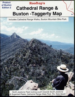
Description
This Rooftop map covers the Buxton, Marysville and Taggerty areas with an enlargement of cathedral Range National Park.
All walking tracks have been field-checked and the map contains notes for a selection of easy and hard walks. There is also a map of Buxton township walking and mount bike tracks.
Pocket-sized map. Waterproof & tear resistant. It is currently out of print. The map is available on the reverse of Marysville – Lake Eildon Adventure Map – https://meridianmaps.com.au/product/marysville-lake-eildon-map/


Reviews
There are no reviews yet.