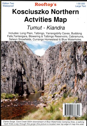
Description
This Rooftop map features a 1:50,000 scale double-sided map covering Long Plain, Talbingo, Yarrangobilly Caves, Buddong Falls, Tantangara, Blowering & Talbingo Reservoirs, Cabramurra, Selwyn Snowfields, Currango Homestead & Blue Waterholes. Cabramurra, Kiandra, Selwyn Snowfields, Bogong Peaks Wilderness, Goobarragandra Wilderness, Bramina Wilderness, Bimberi Wilderness and Nature Reserve, Bondo State Forest, Inset of the Yarrangobilly Caves, Ravine Camping Area, Wallaces Creek Trail, Marangle State Forest, Part of the Alpine Walking Track, Brindabella,
Detail includes roads, tracks, walking tracks, watercourses, bush huts, contours. The entire map was thoroughly field-checked from 2022.
Printed on waterproof paper.


Reviews
There are no reviews yet.