
Description
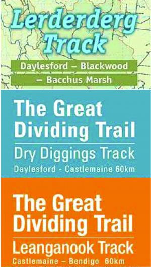
The Dry Diggings Track is a segment of the Great Dividing Trail, commences in Daylesford and extends for 60 kilometres to Castlemaine. Rich in heritage and wildflowers, the track is divided into four Walks/Rides, progressing from south to north. Detailed features and photo galleries for each segment are provided in panels on the left. This map conveniently folds to a manageable size, making it perfect for traversing the entire track or exploring individual sections separately.


Caroline –
I know the area quite well but so many unmarked tracks! I’d been looking for maps of walking tracks for a while and this was very useful, clear and easy to read. I bought a map pack and am looking forward to exploring whilst knowing where I’m going! The service was particularly helpful and quick too.