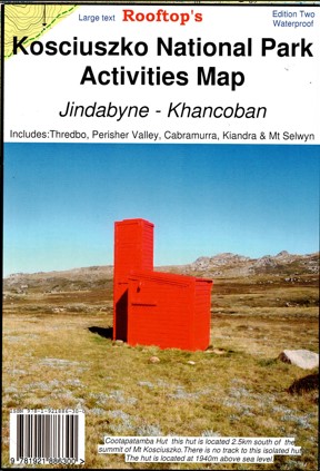
Description
This Rooftop map features a 1:50,000 scale double-sided map covering Mount Koscuiszko Thredbo, Charlottes Pass, Perisher Valley, Tom Groggin, Guthega, Geehi, Cabramurra, Kiandra, Selwyn Snowfields, Jagungal Wilderness, Khancoban, Jindabyne, Indi Wilderness, Opera House Hut, Olsens Lookout, Bourkes Gorge Falls and Tunnell, Dr Forbes Hut, Western Falls Wilderness, Geehi Rest Area, Tom Groggin Rest Area, Main Range Walk, Leatherbarrel Camping and Picinic Area, Smiggins, Verandah Camp, Whites River Hut, Blue Cow Mountain, Geehi Reservoir, Grey Mare Mountain, Bullocks Flat, Botherum Hut, Sawpit Creek, Tin Hut, Part of the Australia Alps Walking Track, Porcupine Rocks, Thredbo Diggings Camping Area, Most of Lake Eucumbene, Anglers Rest, Braemar Bay Caravan Park, Providence Portal.
Detail includes roads, tracks, walking tracks, watercourses, bush huts, contours.
Printed on waterproof paper.

Reviews
There are no reviews yet.