Select Page

Tallarook Forest Activities Map

$8.95

  • 2nd Edition (2015) Rooftop Map
  • Scale 1:30,000 contour map
  • Detailed track information
  • Camping Locations and Points of Interest
  • Printed on waterproof paper
SKU: R036 Category:

Description

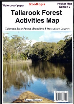
Rooftop Map at 1:30,000 scale covering includes Tallarook State Forest, Mount Hickey, Warragul Rocks, Falls Creek Reservoir, Horseshoe Lagoon (Goulburn River), Freemans Camp.
Facility symbols include Camping Areas, Picnic Areas, Fishing Spots and Fire Towers.
The 1:30,000 scale map also includes, roads, vehicle, motorcycle and walking tracks; contours, elevations, and GPS co-ordinates.
Waterproof.

Additional information

Weight 0.090 kg
Format

Folded, Folded & Laminated

Reviews

There are no reviews yet.

Be the first to review “Tallarook Forest Activities Map”

Your email address will not be published. Required fields are marked *